Link to details:

A greater risk from earthquakes since 3,000 years ago?
A possible influence from the Yellowstone hotspot on poorly described faults linking major faults on the west coast of North America
by Ann Morey (Ross), PhD Candidate, Oregon State University
See link for updated information
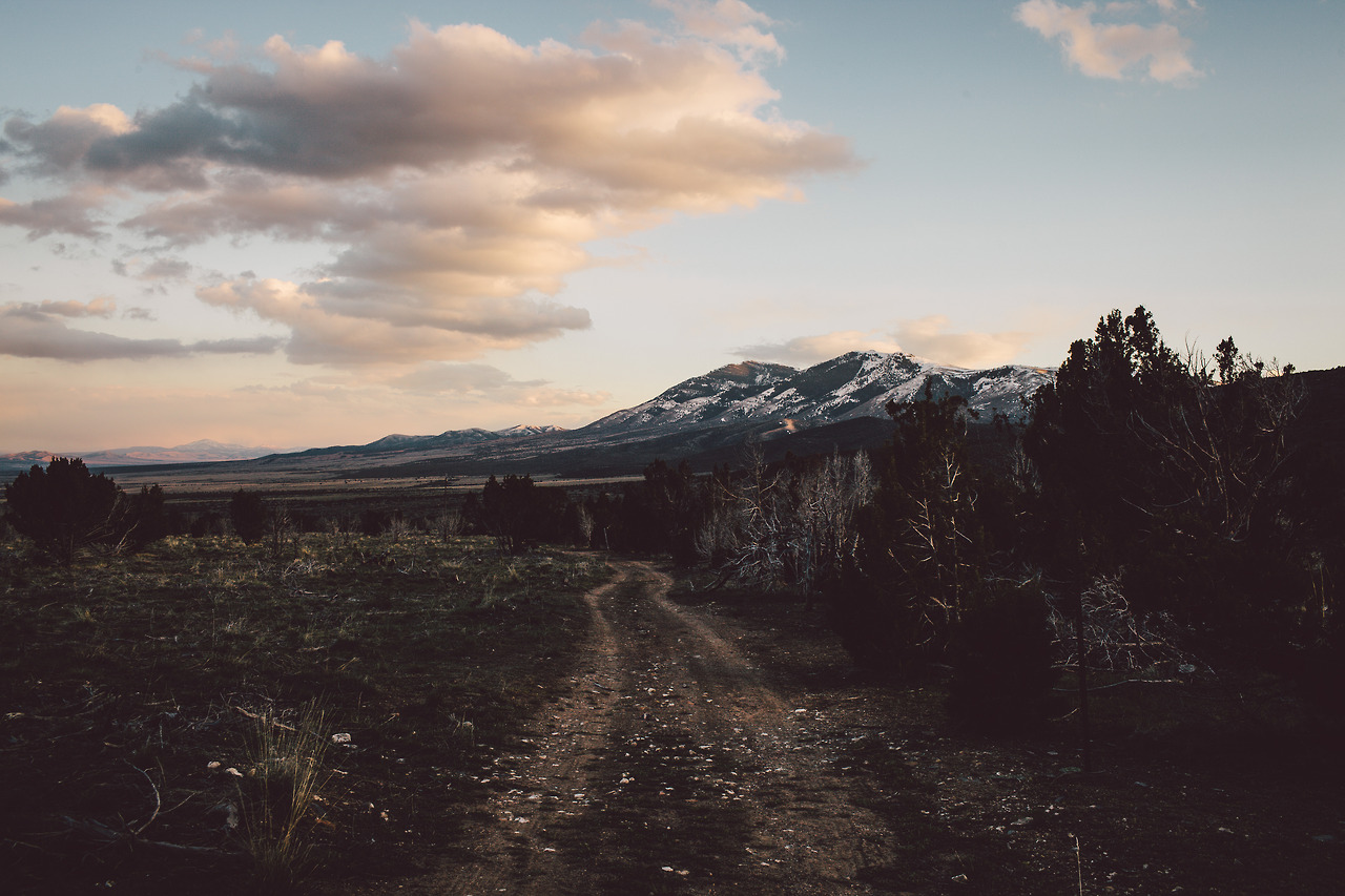
The Cascadia subduction zone (CSZ) is a convergent boundary that stretches ~1000 km from Vancouver Island to northern California, where the Juan de Fuca and Gorda Plates subduct beneath the North American Plate. It was originally thought to be aseismic – not producing earthquakes – however there is now strong evidence that it is capable of producing megathrust earthquakes of a similar magnitude as the largest earthquakes ever recorded, including the megathrust earthquakes in Chile (1960), Alaska (1964), Sumatra (2004), and Tōhoku (2011).
LINKS
Megathrust earthquakes, which occur at subduction zones, produce one of the largest releases of energy on earth, resulting in strong ground motions which cause liquefaction, trigger landslides, devastating tsunamis, and other disturbances which can be preserved in sediments. Given that the most recent Cascadia earthquake occurred in 1700, prior to instrumental data and written historic records, there is little information available regarding the hazards for more inland locations where most people live. Megathrust earthquakes are capable of disturbing sediments in different types of settings (lakes, landslides, shelf and deep ocean) at the same time, and as a result, can provide data that can be used to interpret shaking intensity at inland locations where people live.
Sediments accumulating in the ocean, on land and in lakes contain evidence of other types of changes, from climate (average weather patterns through time) and individual weather events, the effects of wildfires, human influences on erosion from farming, logging, and road building, in addition to extreme natural disasters, such as earthquakes and volcanic eruptions. These sediments can accumulate continuously over long periods of time (hundreds to millions of years) producing sequences containing evidence of single events (such as a volcanic eruptions) and more gradual changes (such as warming or cooling periods) through time, and can be sampled and analyzed to interpret the history of these past events.
Just as Lidar, remote sensing by satellite, “structure from motion” drone images, and sonar provide a lens through which we can use to see the details of large-scale features on the seafloor, landscape, and the conditions of lakes and characteristics of stream systems at a much higher resolution than we had ever imagined possible, so do micron-scale sedimentary data from X-ray fluorescence (XRF), Computed Tomography (CT) density, color photography, reflectance of different wavelengths of light, and micro-CT density provide the opportunity to see very small, yet important, characteristics of sediment and ice core samples.
LINKS to examples
We now have high-resolution records of these events in sediments, and methods that allow us to interpret them, but how do we know timing of these events and the feedbacks that contribute to them?
What is needed is a way to accurately determine the timing of events in sediments so we can understand why and how they occur.